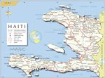
The actual dimensions of the Haiti map are 2000 X 1513 pixels, file size (in bytes) - 257032. You can open, print or download it by clicking on the map or via this link: Open the map of Haiti.
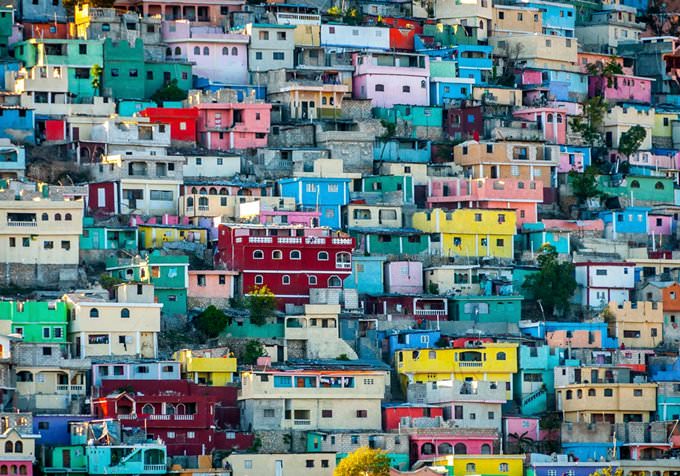
The capital and the biggest city in Haiti – Port-au-Prince – comfortably lies on the bay that is a part of the Gulf of Gonave. Gorgeous local culture and the unique colonial architecture have always attracted foreign guests in search of exotic places where it is possible not only to relax but also to learn something new when exploring local attractions. Do you like making discoveries and learning something new? The voodoo cult is still alive in Port-au-Prince – this religion is exotic to most foreigners. Without a doubt, it would be a mistake to forget to mention the Caribbean Sea that amazes everyone with its cleanness and miraculous underwater world. In 1706, a ship named Le Prince reached the Gulf of Gonave. The captain decided to call the bay after his ship and called it Port-au-Prince. The first port opened in the area in 1748. Before the arrival of foreigners, only the indigenous tribes lived here but the colonizers mercilessly killed them all. After that, the foreign invaders brought slaves from Africa to the settlement. The slaves had to work day and night mining gold. African men and women who were not strong enough to work in the mine were taken to the numerous plantations. In 1770, Port-au-Prince became a part of the colony of Saint-Domingue. Twenty-one
…
Secure Connection
Main Office
Weegschaalstraat 3, Eindhoven
5632 CW, The Netherlands
+31 40 40 150 44