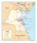
The actual dimensions of the Kuwait map are 1009 X 1155 pixels, file size - 193851 bytes. You can open, print or download it by clicking on the map or via this link: Open.
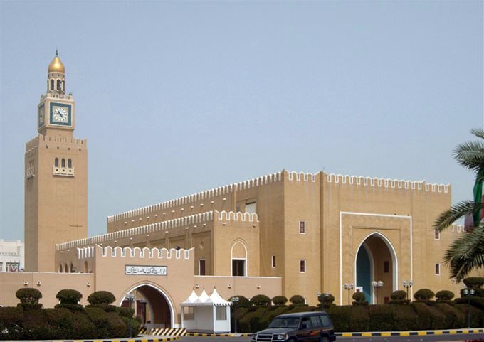
Kuwait (El Kuwait) is the capital of Kuwait located on the southern bank of Kuwait Bay (a part of the Persian Gulf). This is the largest port of the country. The population of the city estimates 32.4 thousands of people as for 2005. This is the only large megalopolis on the country. For a long time Kuwait was powered mostly by fishing, pearl fishery and well-developed trading relations with India and East Africa. After the end of World War II oil production started in Kuwait, quickly turning it into a large megalopolis. Today in Kuwait are well-developed such areas as food, cement, and petrochemical industries; machine building, consumer electronics manufacturing, ship repairs and ship building. The city is also famous by the only in the country and the largest in the world water desalinization factory and pearl fishing. Kuwait is also an important transport and trading crossing. The architecture of Kuwait has suffered severely from the war with Iraq. That’s why the center of the city is full of modern buildings and only in the suburbs of Kuwait one can see old one-storey wattle and daub buildings. The center of the city is the location of the official residence of emir, various governmental facilities that border with luxurious mansions that belong to the high class of the
…